Cut Lines in HEC-RAS

Cut lines are an important aspect of georeferenced HEC-RAS models because they represent the geospatial location of your cross sections in plan view. If you are having issues with the placement of your cross sections, I recommend looking at the cut lines table. The following blog post will describe how to use the cut lines … Read more
Skills That Make Civil Engineers More Marketable

In today’s globalized economy, the job market can be very competitive. Luckily, civil engineers who possess the right training, education, and skillsets will often have many professional opportunities come their way throughout their careers. For civil engineers who have just graduated from college or are early on in their careers, it is particularly important to … Read more

Megadrought in California

If you live in a dry area such as the western United States, you have probably heard about the drought crisis that we, along with many other nations around the world, are facing. Many municipalities throughout California have implemented restrictions on outdoor watering. Lake Mead and Lake Powell, which provide drinking water for more than … Read more

Rain-on-Grid Modeling in HEC-RAS

Runoff is an important aspect of the hydrologic cycle. Understanding the amount of water that will be conveyed to hydraulic structures such as storm drains, pipes, culverts, or waterbodies is critical to designing effective stormwater infrastructure. For this reason, it is important that hydrologic and hydraulic (H&H) modelers accurately depict the relationship between rainfall and … Read more

Adding Lateral Structures in HEC-RAS

In HEC-RAS, lateral structures are used to model flow being conveyed out of a river and into an adjacent area (e.g., another river/stream, a 2D area, or a storage area). In this way, lateral structures are useful because they allow the user to model situations where water is leaving a stream/river system. By default, HEC-RAS … Read more

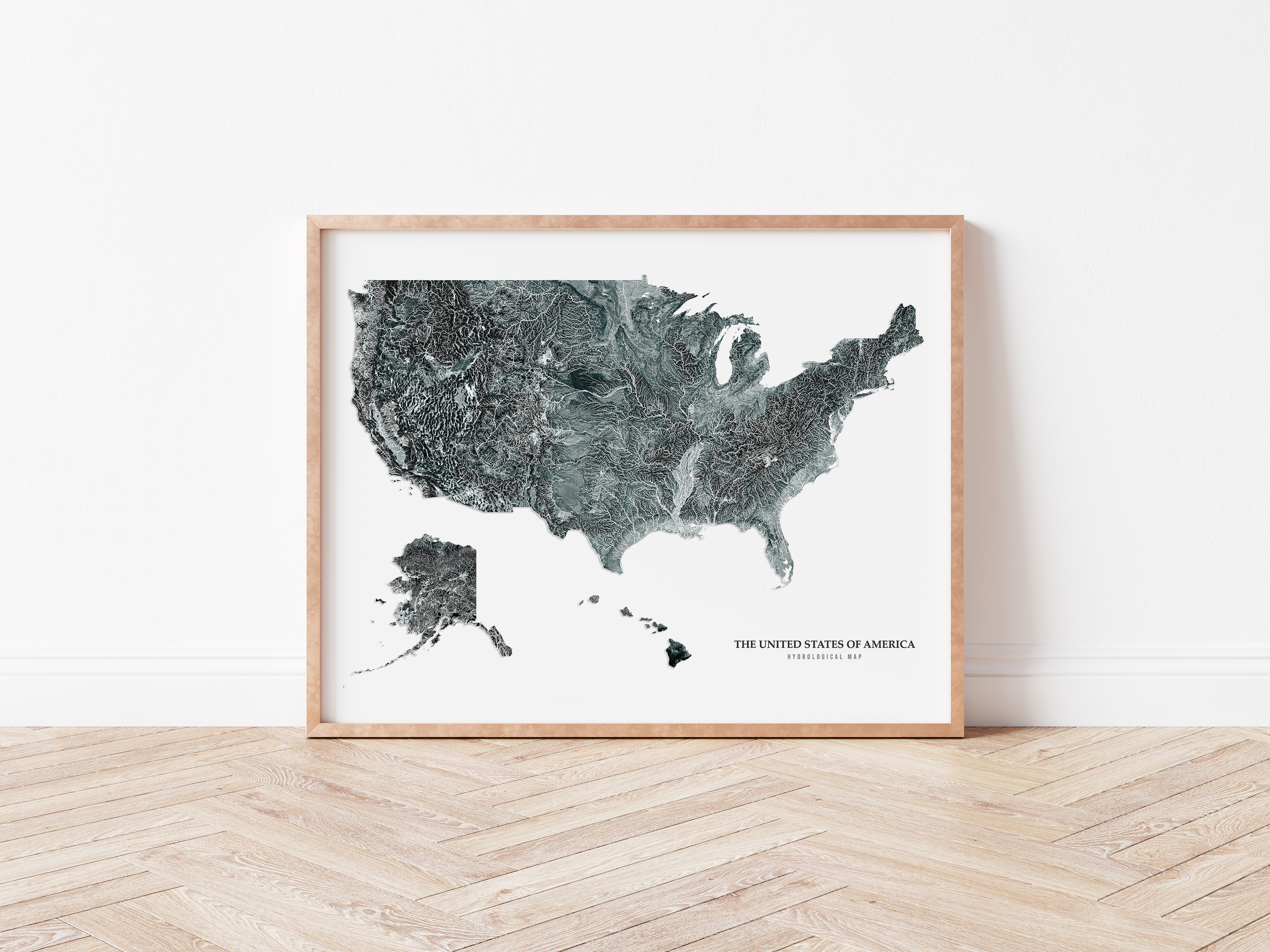
Using QGIS and Adobe Photoshop To Create Hydrological Maps

In 2020, I decided to open an Etsy shop selling some of my digital art, specifically hydrological maps. Over the last couple of years, this hobby has grown into a part-time business that has become a solid source of extra cash. Building my little business has taken a lot of work. In addition to learning … Read more

Categories GIS

Cowan’s Method

The Manning’s roughness coefficient, which is also commonly referred to as Manning’s n, is an empirical parameter that represents energy loss due to a variety of things such as friction losses, flow separation, turbulence, and very sudden contractions or expansions. Manning’s n values are applied to Manning’s equation, which calculates open channel flow. There are … Read more