How to Generate Contours Using QGIS

For civil engineers and other design professionals, contours are a significant part of our working life. This is because contours are very useful when attempting to visualize drainage patterns across the landscape. Unfortunately, contour data (and especially high-quality contour data) can be difficult to find. Some cities and counties provide contour data on their GIS … Read more
Categories GIS

Using QGIS and Adobe Photoshop To Create Hydrological Maps

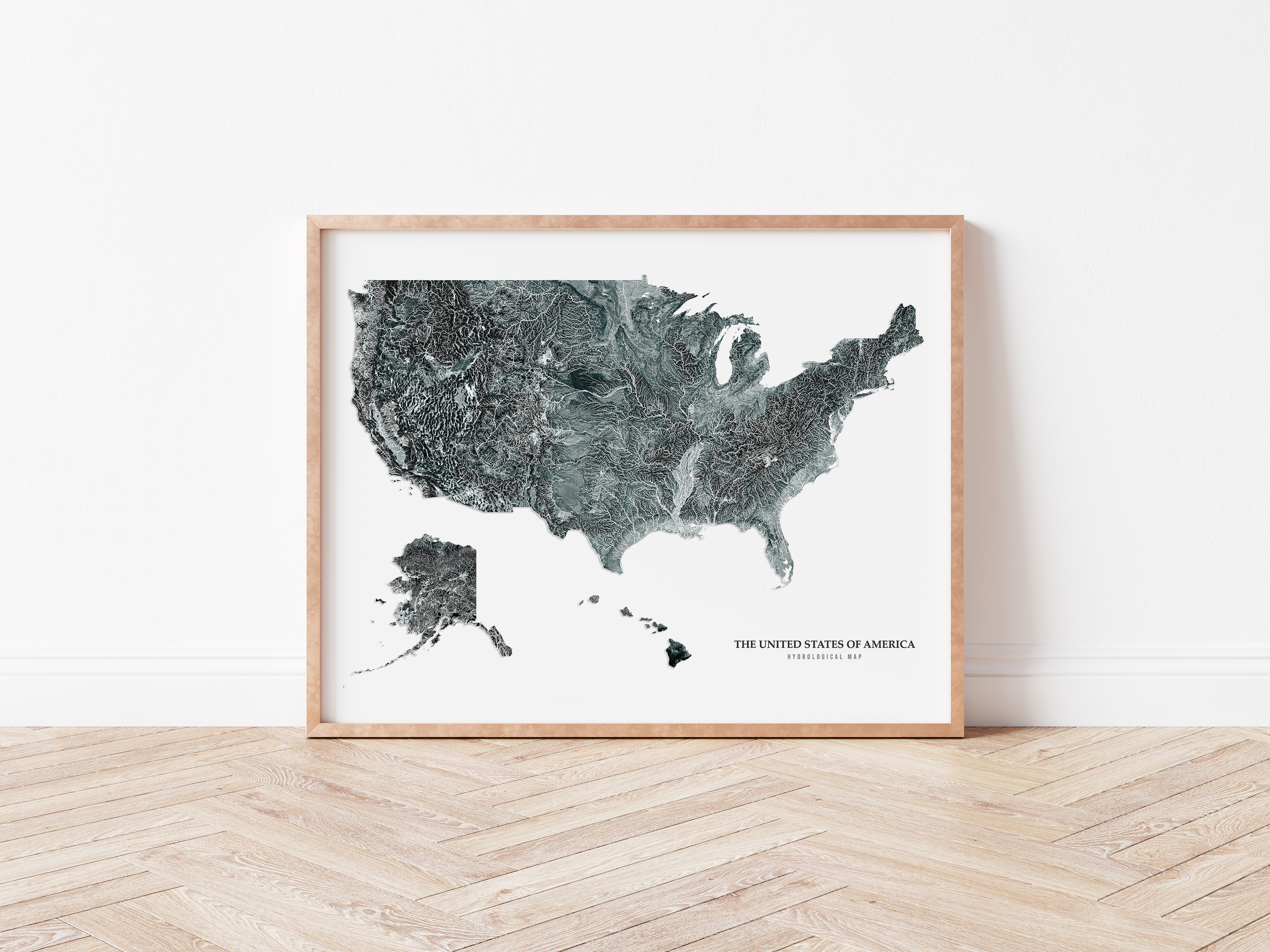
In 2020, I decided to open an Etsy shop selling some of my digital art, specifically hydrological maps. Over the last couple of years, this hobby has grown into a part-time business that has become a solid source of extra cash. Building my little business has taken a lot of work. In addition to learning … Read more

Categories GIS

ArcGIS versus QGIS

ArcGIS and QGIS are Geographic Information System (GIS) software programs developed to store, manage, and display geospatial data. GIS software allows you to perform analyses and generate maps. For many water resources professionals, GIS is a significant part of their professional lives. In the United States, most water resources professionals use the Environmental Systems Research … Read more

Categories GIS

15 Tips for Getting Started With GIS

Geographic Information System (GIS) software helps people visualize geospatial information. Although making maps is a big part of GIS, software such as ArcGIS and QGIS is capable of so much more. For example, users can use GIS for hydraulic modeling, perform statistical analyses, and crime analysis. In addition to the numerous applications, GIS is an … Read more